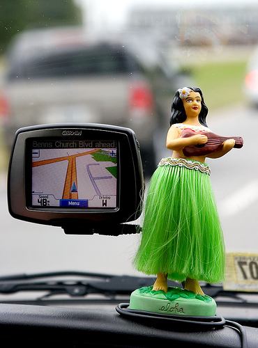
 Imagine finding Dichon Kalan or Madipur Village or Ghari Harsuru in Delhi. Of course you can find it out. There’re two ways to do the job. First one, a rather not smart one, is go on asking the directions and finding landmarks, till you reach the destination. Other one, which I trust the most, is open Google maps on your smartphone, turn on navigation, find the best possible route to get there, follow the directions and reach without fuss- a smart way out! That’s why I am out here to write on occasion, which is indeed a milestone decision in navigation industry- Opening of unscrambled GPS for masses!
I am indebted to Bill Clinton’s decision, then US President, to ask US military to stop intentionally interfering GPS satellite signal reaching to masses. This decision has paved way to find accurate position of person, cars, ships, planes etc, which wasn’t possible earlier. When US President Ronald Regan announced the availability of GPS to civilians in 1983, till 2000, the GPS signals available to masses were of degraded quality. The signals were used to scramble, to degrade the accuracy of position. On 29 March 1996, Clinton government issued a policy directive, after recognizing the importance of GPS to civilians, which was known as “Selective Availability”. But on 2 May 2000, the same has been discontinued, which made civilian GPS signals as accurate as military navigation. Indeed a landmark decision!
In World of Telecommunication, role of GPS navigation plays very critical role. Those of you, who are aware of initial procedures of Cell Tower planning can tell, how effective GPS is in locating exact position of cell sites. Once cell tower location has been recorded (Lat-Long), then rest of the procedures are followed. Same is true when it comes to finding the location of existing tower with Lat-Long tracking or nowadays with map navigation. Even terrain mapping, which helps in finding possible obstructions between two cell towers wouldn’t be possible without GPS. The list goes on!
These days I often use GPS navigation on my Google Phone to find locations of cell towers. More often, when I visit customer’s place, I don’t forget to record the location, which in turn helps in providing better services at the location. And all this has been possible, when on 2 May 2000, Clinton government decided to scrap selective availability of GPS signals. Since then world has been better place. And nowadays, when GPS receivers come integrated with high end phones, navigation is changing and has better objective than ever. People are using navigation maps more than anything else on their phones. Given that, whole bunch of industry is popped up and competition to provide better navigation services is heating up day-by-day. These are just few examples. Then question arises,where are we heading in navigation?
There are still some issues of multi-paths of satellite signals in dense urban areas, where at a time, a modern GPS receiver can track signals from two satellites only, which degrades the accuracy. Generally to locate the accurate position, you need to have signals from four satellites. By accurate position, I mean latitude, longitude & time. Then there are battery drain issues when you fire GPS navigation on your smartphone. Till we reach to better battery life and get better GPS positioning accuracy in urban scenarios, I feel, modern navigation has remarkably improved the way we travel, move & see the world. Hats off to Clinton’s decision!
(Photo is courtesy of Jimmy_Joe from Flickr)
(You can also check GPS in India for more information.)


